Back to Play

Curtis Creek
-
Address
-
Website
-
Categories
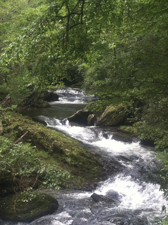
A rushing trout stream, stocked with Brook Trout, Rainbow Trout and Brown Trout, with handicapped access overlook on left side of road as you approach the Curtis Creek Recreation Area and campground. GPS coordinates are 35.655295, -82.179128.
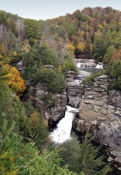
Our area of the Pisgah National Forest includes approximately 67,000 protected acres are within the Grandfather Ranger District of the U.S. Forest Service lands. The first track of land purchased through the Weeks Act in 1911 and was an active part of the Civil Conservation Corps Project celebrating its 76th anniversary in 2009. Hiking trails, horse riding trail, waterfall trail. Seasonal RV and Tent sites. Picnic tables, grills and restrooms.


